Mapping Thrift Stores vs. Median Household Income in San Francisco
Search for a command to run...
No comments yet. Be the first to comment.
Notion isn't exactly known as a speed demon... On Android it can take 30+ seconds to share a URL to the Notion app. It's faster to paste the link in the Notion app directly. I know because I do it 10-
When dad’s phone died I was the first one mom called for help. She always apologizes when calling for help. I’m not sure if she’s just being polite or she really doesn’t know the joy it brings me to b
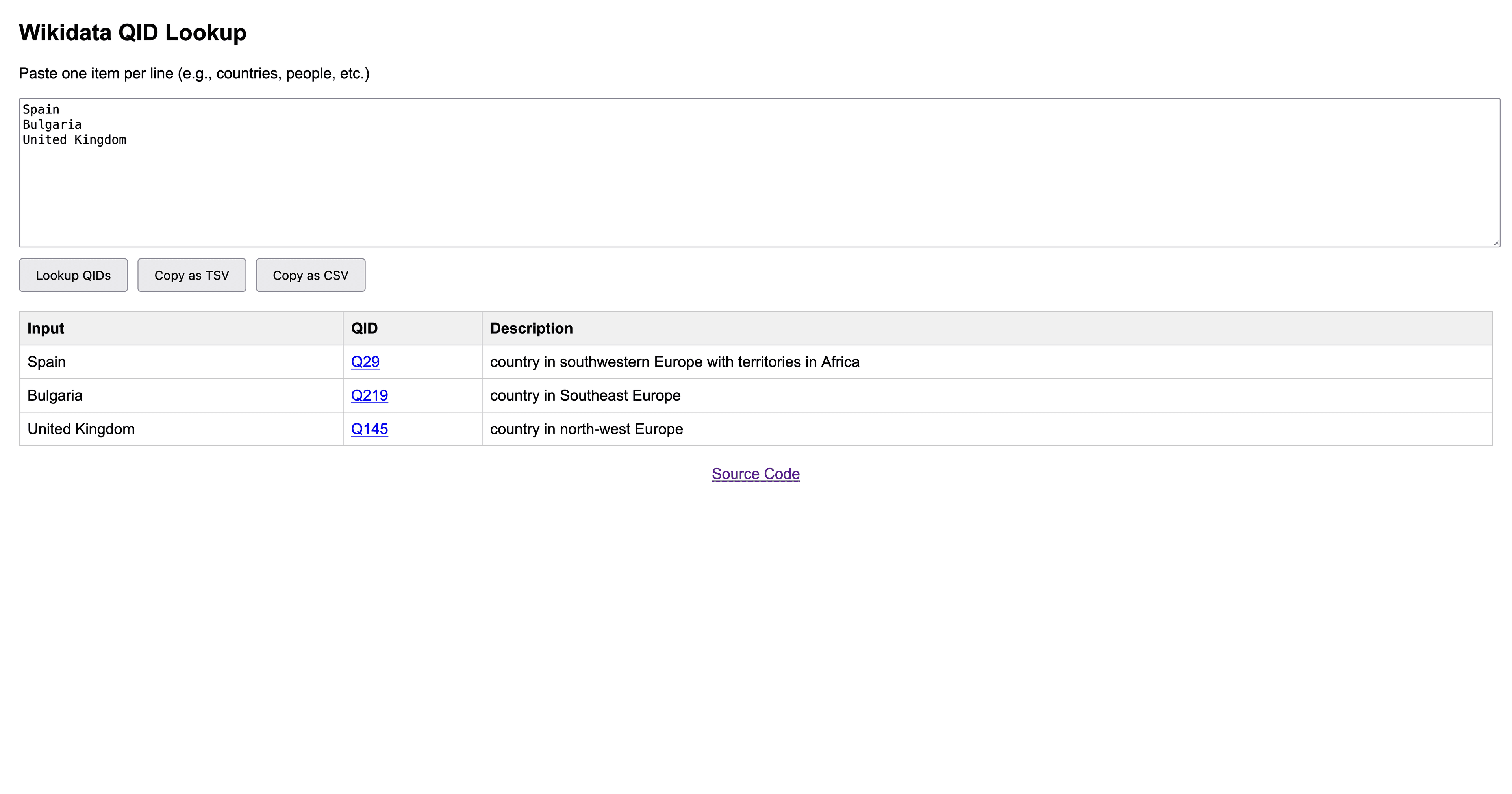
TLDR: I made a tool to do this: Wikidata string to QID tool (source). Bulk adding information to Wikidata by hand is a pain. I have an idea for creating a map of MVNOs (mobile virtual network operators) and their ownership (AT&T owns Cricket, Verizon...
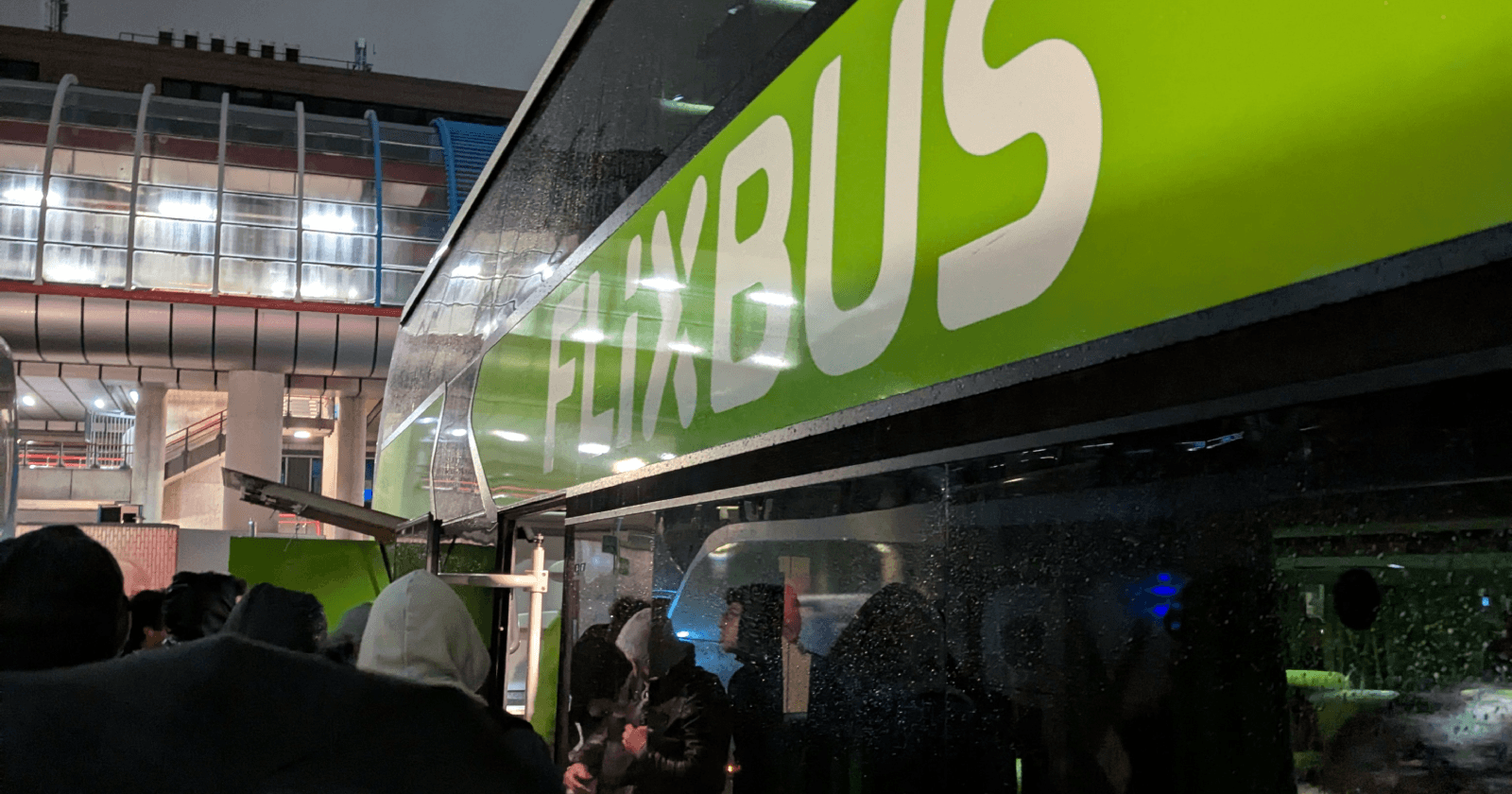
Friends often joke about how bad FixBus is but none of the ~10 rides I've been on were particularly unpleasant. In fact, this most recent bus even had 250 MB of free WiFi. I didn’t bother using it but I found it to be an amusingly small amount for a ...
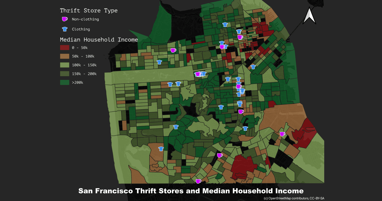
Last year, I learned QGIS through the GIS and Spatial Analysis for Urban Practitioners course by All Things Urban. This year, with free Udemy access via SFPL, I'm looking to expand my skills. First, I dug up my old final project to revisit and share.
I used data from OpenStreetMap for thrift stores (labeled as such, or as selling secondhand goods) and mapped it against income data in San Francisco. Somewhat surprisingly, no strong spatial patterns emerged as thrift stores are in areas of many income levels rather than clustering in high or low income areas as one might expect. Perhaps thrift stores are more centered around high foot traffic areas in the city. Beyond the analysis, I also took the opportunity to contribute back to the community by updating several outdated thrift store entries in OpenStreetMap.
